TOP 10 LARGEST DESERTS IN THE WORLD
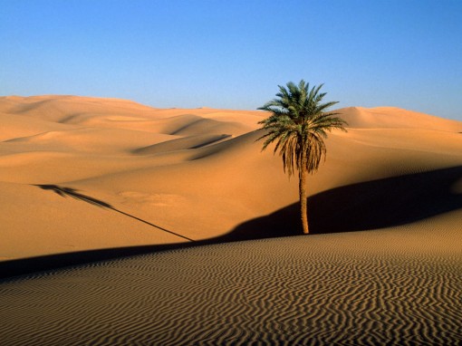
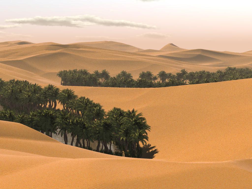
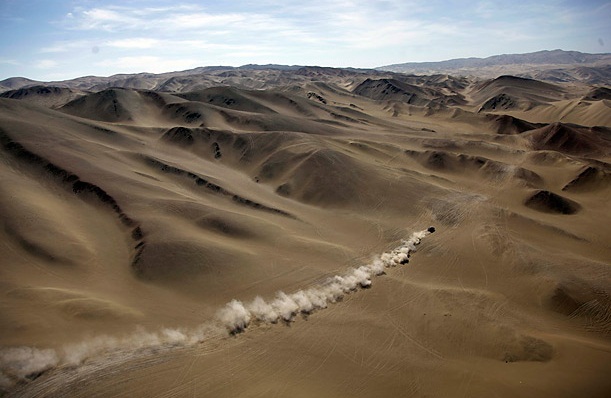
1.Sahara

The Sahara is the largest hot desert in the world, and the world's third largest desert after Antarctica and the Arctic. Its surface area of 9,400,000 square kilometres (3,600,000 sq mi)[citation needed]—including the Libyan Desert—is comparable to the respective land areas of China or the United States. The desert comprises much of the land found within North Africa, excluding the fertile coastal region situated against the Mediterranean Sea, the Atlas Mountains of the Maghreb, and the Nile Valley of Egypt and Sudan. The Sahara stretches from the Red Sea in the east and the Mediterranean in the north, to the Atlantic Ocean in the west, where the landscape gradually transitions to a coastal plain. To the south, it is delimited by the Sahel, a belt of semi-arid tropical savanna around the Niger River valley and Sudan Region of Sub-Saharan Africa. The Sahara can be divided into several regions, including the western Sahara, the central Ahaggar Mountains, the Tibesti Mountains, the Aïr Mountains, the Ténéré desert, and the Libyan Desert. Its name is derived from the plural Arabic language word for desert
2.Arabian Desert

The Arabian Desert is located in Western Asia. It is a vast desert wilderness stretching from Yemen to the
Persian Gulf and Oman to Jordan and Iraq. It occupies most of the Arabian Peninsula, with an area of
2,330,000 square kilometers (900,000 sq mi). At its center is the Rub'al-Khali, one of the largest continuous
bodies of sand in the world. Gazelles, oryx, sand cats, and spiny-tailed lizards are just some of the
desert-adapted species that survive in this extreme environment, which features everything from red dunes
to deadly quicksand. The climate is mostly dry (the major part receives around 100 mm of rain per year but
some very rare places receives down to 50 mm), and temperatures oscillate between very high heat and
seasonal night time freezes. It is part of the Deserts and xeric shrublands biome and the Palearctic ecozone.
This ecoregion holds little biodiversity, although a few endemic plants grow here. Many species, such as the
striped hyena, jackal and honey badger have become extinct in this area due to hunting, human encroachmentand habitat destruction. Other species have been successfully re-introduced, such as the sand gazelle, and are protected at a number of reserves. Overgrazing by livestock, off-road driving, and human destruction of habitat are the main threats to this desert ecoregion.
3.Gobi Desert
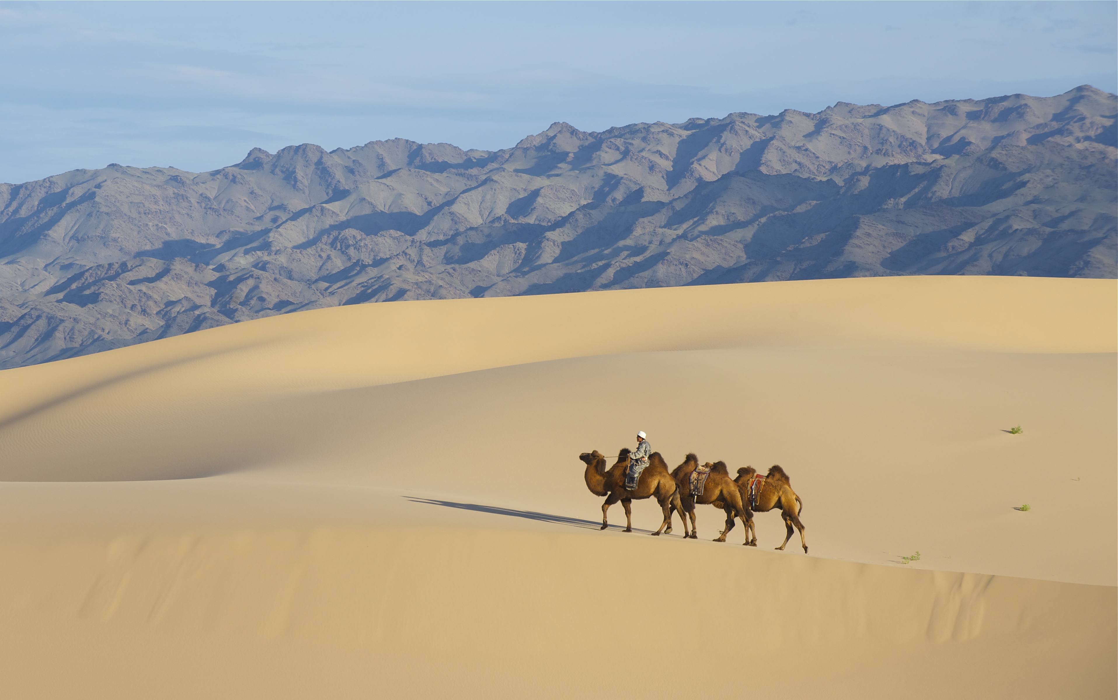
The Gobi is a large desert region in Asia. It covers parts of northern and northwestern China, and of southern Mongolia. The desert basins of the Gobi are bounded by the Altai Mountains and the grasslands and steppes of Mongolia on the north, by the Taklamakan Desert to the West, by the Hexi Corridor and Tibetan Plateau to the southwest, and by the North China Plain to the southeast. The Gobi is most notable in history as part of the great Mongol Empire, and as the location of several important cities along the Silk Road.

The Gobi is a rain shadow desert formed by the Himalaya range blocking rain-carrying clouds from the Indian Ocean from reaching the Gobi territory.
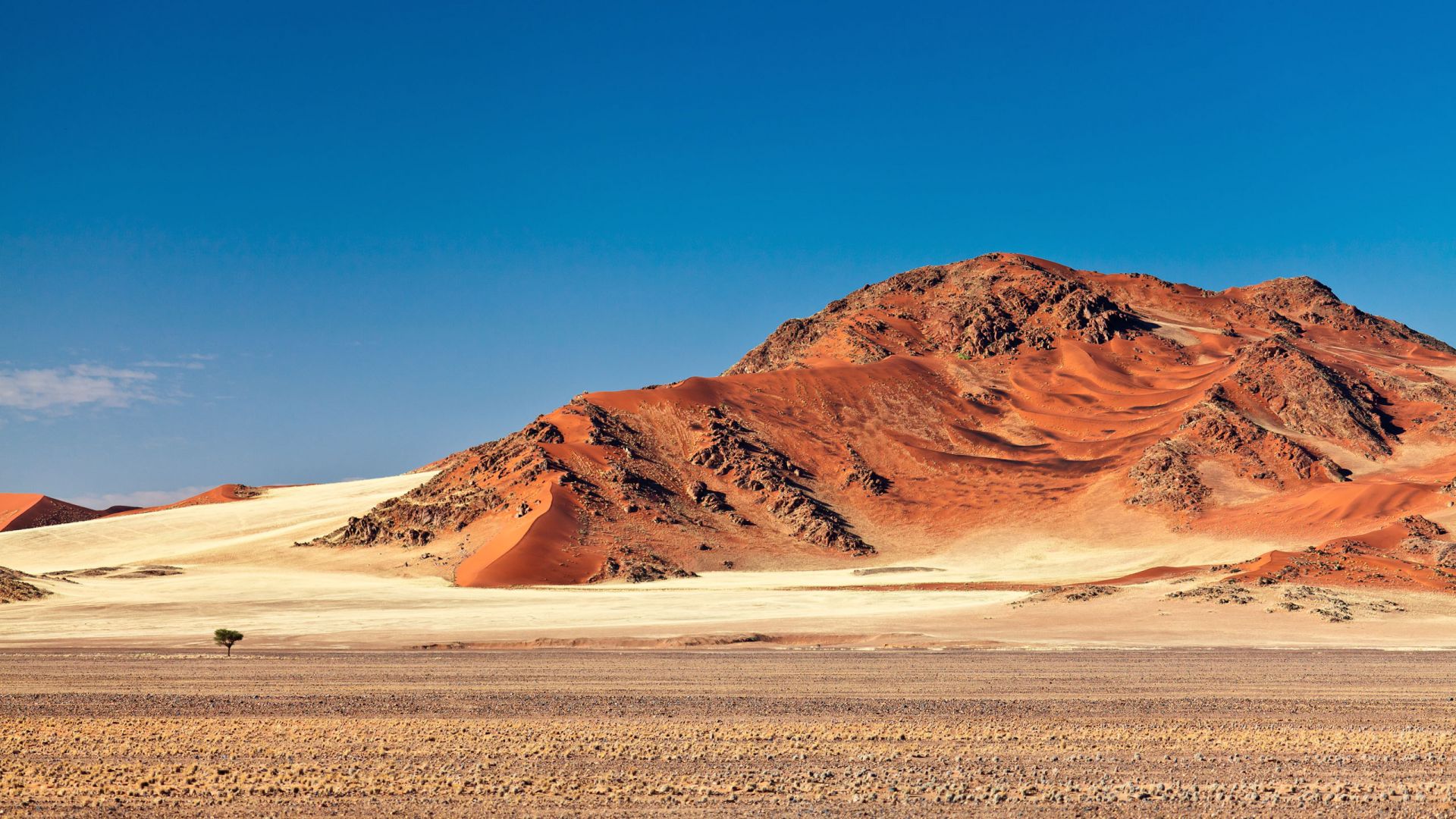
4.Kalahari Desert
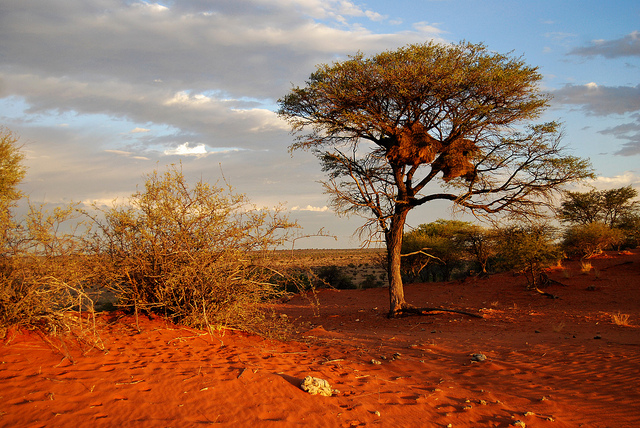
The Kalahari Desert is a large semi-arid sandy savannah in southern Africa extending 900,000 square kilometres (350,000 sq mi), covering much of Botswana, parts of Namibia (known as South-West Africa from 1894 to 1990), and regions of South Africa. A semi-desert, with huge tracts of excellent grazing after good rains, the Kalahari supports more animals and plants than a true desert, such as the Namib Desert to the west. There are small amounts of rainfall and the summer temperature is very high. The driest areas usually receive 110–200 millimetres(4.3–7.9 in) of rain per year,[1] and the wettest just a little over 500 millimetres (20 in). The surrounding Kalahari Basin covers over 2,500,000 square kilometres (970,000 sq mi) extending farther into Botswana, Namibia and SouthAfrica, and encroaching into parts of Angola, Zambia and Zimbabwe. The Kalahari is home to many migratory birds and animals. Previously havens for wild animals from elephants to giraffes, and for predators such as lions and cheetahs,the riverbeds are now mostly grazing spots, though leopards and cheetahs can still be found. The area is now heavily grazed and cattle fences restrict the movement of wildlife. Among deserts of the Southern Hemisphere, the Kalahari
most closely resembles some Australian deserts in its latitude and its mode of formation. The Kalahari Desert came into existence approximately sixty million years ago along with the formation of the African continent.

5.Patagonian Desert
The Patagonian Desert, also known as the Patagonia Desert, Patagonian Steppe, or Magellanic Steppe,
is the largest desert in Argentina and is the 7th largest desert in the world by area, occupying 673,000
square kilometers (260,000 mi2). It is located primarily in Argentina with small parts in Chile and is bounded by the Andes, to its west, and the Atlantic Ocean to its east, in the region of Patagonia, southern Argentina.To the north the desert grades into the semi-arid Cuyo Region and the Dry and Humid Pampas. The central parts of the steppe are dominated by shrubby and herbaceous plant species albeit to the west, where precipitationis higher, bushes are replaced by grasses.Topographically the deserts consist of alternating tablelands and massifs dissected by river valleys and canyons. The more western parts of the steppe host lakes of glacial originand grades into barren mountains or cold temperate forests along valleys.
Inhabited by hunter-gatherers since Pre-Hispanic times the desert faced in the 19th century migration of Mapuches, Chileans, Argentines, Welsh and other European peoples transforming it from a conflictive borderland zone to an integral part of Argentina with cattle, sheep and horse husbandry being the primary land use.
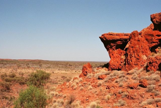
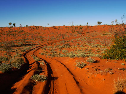
6.Great Victoria Desert

The Great Victoria is the largest desert in Australia and consists of many small sandhills, grassland plains,
areas with a closely packed surface of pebbles (called desert pavement or gibber plains) and salt lakes.
It is over 700 kilometres (430 mi) wide (from west to east) and covers an area of 348,750 square kilometres(134,650 sq mi) from the Eastern Goldfields region of Western Australia to the Gawler Ranges in South Australia. The Western Australia Mallee shrub ecoregion lies to the west, the Little Sandy Desert to the northwest, the Gibson Desert and the Central Ranges xeric shrublands to the north, the Tirari and Sturt Stony deserts to the east, while the Nullarbor Plain to the south separates it from the Southern Ocean. Average annual rainfall is low and irregular, ranging from 200 to 250 mm (7.9 to 9.8 in) per year. Thunderstorms are relatively common in the Great Victoria Desert, with an average of 15–20 thunderstorms per annum. Summer daytime temperatures range from 32 to 40 °C (90 to 104 °F) while in winter, this falls to 18 to 23 °C (64 to 73 °F).
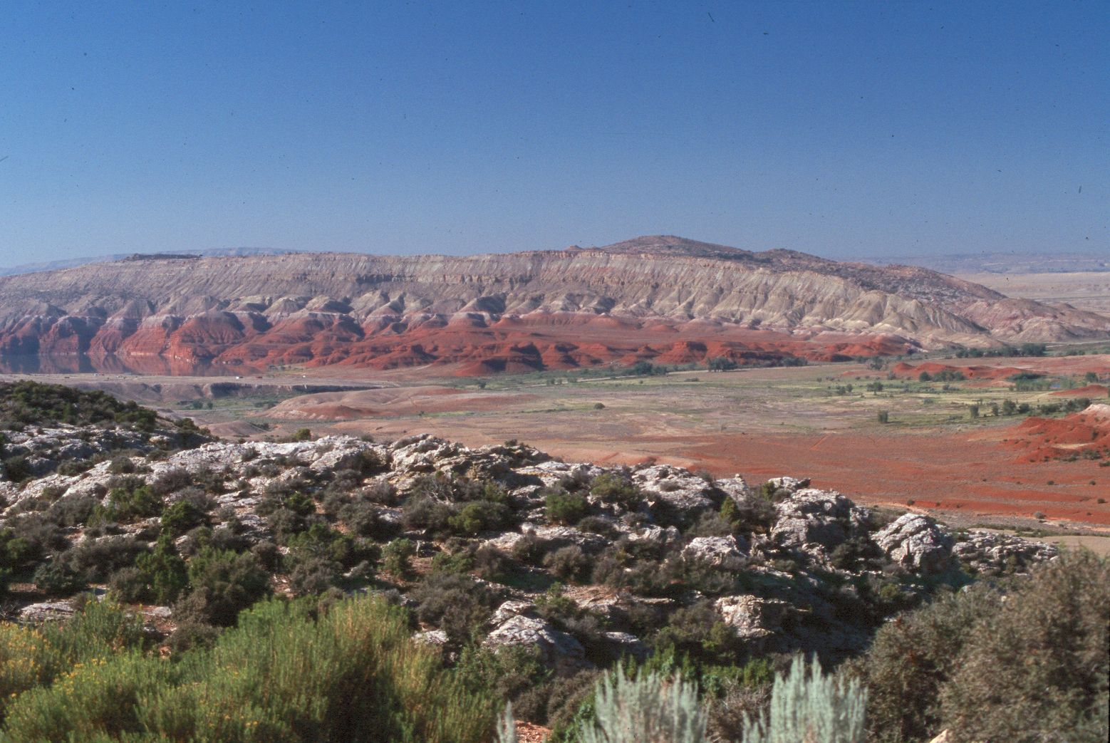
7.Syrian Desert
The Syrian desert is part of the Al-Hamad, which covers portions of Syria, Iraq, Jordan, and Saudi Arabia.
Its border on the west is the Orontes Valley, and its border on the east is the Euphrates. In the north,
the desert gives way to the more fertile areas of grass. In the south, it runs into the deserts of the southern
Arabian Peninsula. Many mini-deserts exist in the Syrian Desert such as Palmyra. Damascus is located on an oasis. The desert's remarkable landscape was formed by lava flows from the volcanic region of the Jebel Druze in southern Syria. The Syrian Desert is the origin of the Syrian hamster.

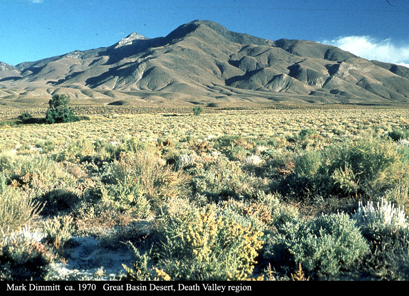
8.Great Basin Desert
The Great Basin Desert is part of the Great Basin between the Sierra Nevada and the Wasatch Range.
The desert is a geographical region that largely overlaps the Great Basin shrub steppe defined by the
World Wildlife Fund, and the Central Basin and Range ecoregion defined by the U.S. Environmental Protection Agency and United States Geological Survey. It is a temperate desert with hot, dry summers and snowy winters.The desert spans a large part of the state of Nevada, and extends into western Utah, eastern California, and Idaho.The desert is one of the four biologically defined deserts in North America, in addition to the Mojave, Sonoran, and Chihuahuan Deserts.
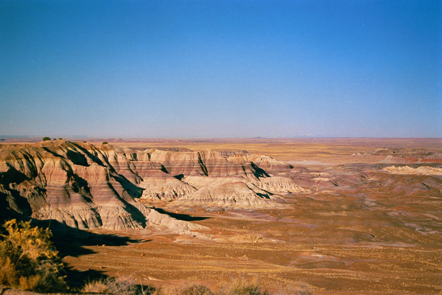
9.Chihuahuan Desert

The Chihuahuan Desert is a desert, and an ecoregion designation, that straddles the U.S.-Mexico border in
the central and northern portions of the Mexican Plateau. It is bordered on the west by the extensive Sierra Madre Occidental range, along with overlaying northern portions of the Sierra Madre Oriental. On the United States side, it occupies much of southwestern Texas and small parts of New Mexico and Arizona. On the Mexican side, it covers the northern half of the state of Chihuahua, along with the majority of Coahuila, north-eastern Durango, the extreme northern part of Zacatecas, and small western portions of Nuevo León. With an area of about 362,000 km2 (139,769 sq mi), it is the third largest desert of the Western Hemisphere and the second largest in North America, after the Great Basin Desert.

10.Great Sandy Desert

The Great Sandy Desert, an interim Australian bioregion, is located in the North West of Western Australia
straddling the Pilbara and southern Kimberley regions. It is the second largest desert in Australia after the
Great Victoria Desert and encompasses an area of 284,993 square kilometres (110,036 sq mi) The Gibson
Desert lies to the south and the Tanami Desert lies to the east of the Great Sandy Desert.


No comments: